An illustration of what was Greater Romania
The area of Greater Romania is about 288,000 KM2, compared to the UK which is about 242.500 KM2

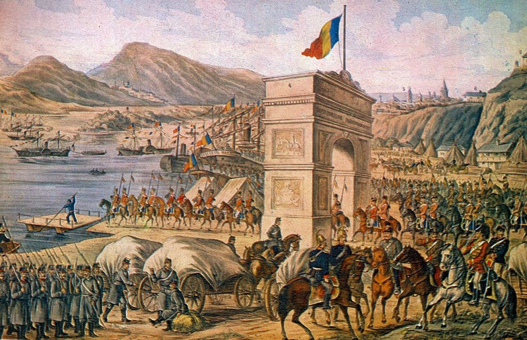
Romanian troops crossing the Danube in 1878
The province of Oltenia in the south west was part of Muntenia and Dobrogea in the south east became part of the Kingdom of Romania following the independence war against the Ottoman empire.
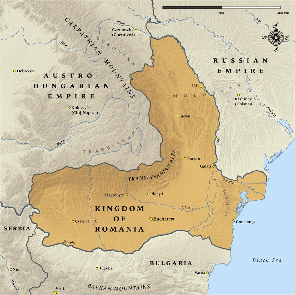
The original Kingdom of Romania

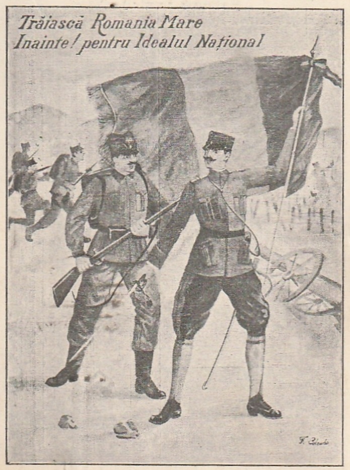
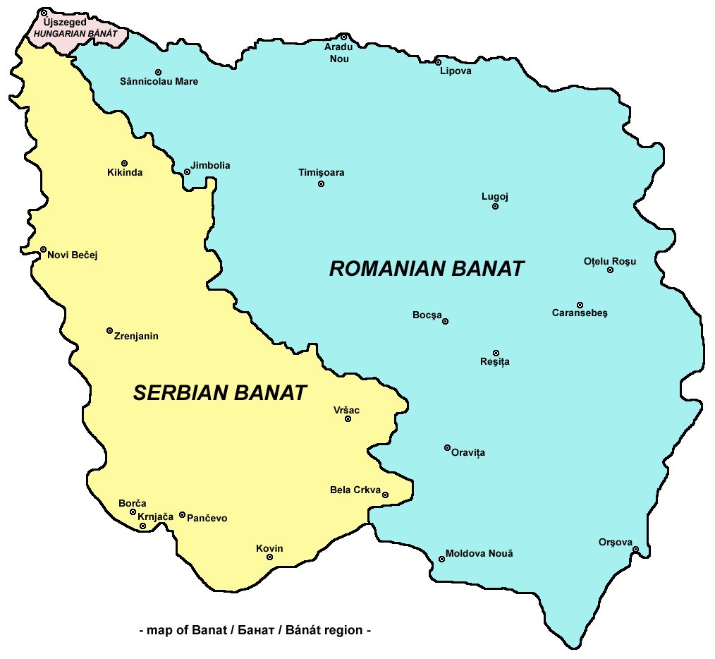
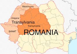
Peripheral territories Transylvania, Maramures, Crisana, Banat, and Bukovina in the Austro Hungarian empire together with Bessarabia under Russian control, joined in a union with the Kingdom of Romania, to create Romania Mare – Greater Romania. The union lasted the interwar period from 1918 to 1940.
Today Romanian cities which had very large Jewish communities like Chernowitz in Bucovina now located in the Ukraine and Kishinev in Bessarabia now the capital of the Republic of Moldova.
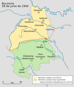
Bucovina – Note the 1940 red line dividing Romania from the Ukraine

Bessarabia now the Republic of Moldova

Our research covers all the territory of what was Greater Romania, as shown in the map at the top of the page.
Any content that may infringe a copyright will be removed immediately.
